Crop health monitoring is the process of monitoring the health of crops in order to ensure that they are growing and producing at optimal levels. It includes checking for signs of pests, diseases, and other environmental stressors.
Monitoring can be done manually or with the help of technology such as drones, satellite imagery, and sensors. It can help farmers identify problems early and take action to prevent crop damage. Crop health monitoring can also help in the development of new farming strategies and technologies.
LOSS ASSESSMENT
Loss assessment in agriculture refers to the process of determining the amount of damage or losses caused to a crop by a particular event or disaster.
1. LOCALISED SURVEY 2. MID TERM ADVERSITY SURVEY 3. POST HARVEST SURVEY 4. SAMPLE SURVEY 5. DLMC(DISTRICT LEVEL MONITORING COMMITTEE)
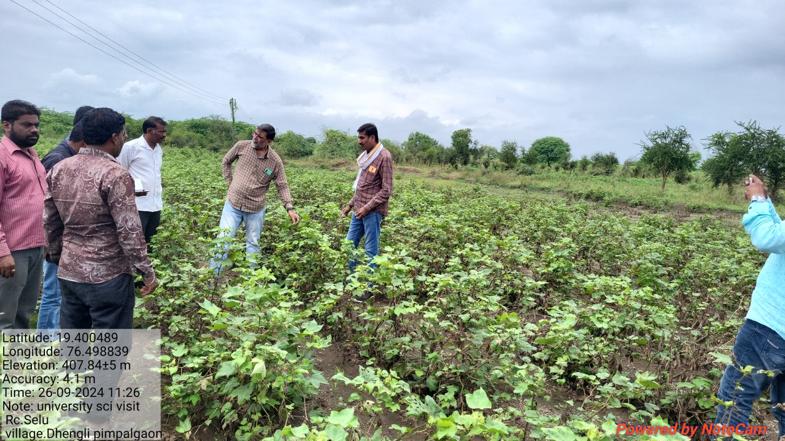
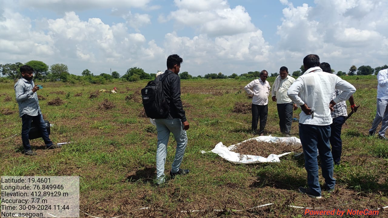
CCE’m(CROP CUTTING EXPERIMENT MONITORING)
Recording the details of experimental plot, location details (latitude & longitude) and CCE outcome (yield) in our structured format (like Form-2) and taking signature of both farmer and the officials. Sending these data through Mobile App from the field.
Monitoring the conduct of CCEs as per norms and procedure adopted by the concerned State Governments.
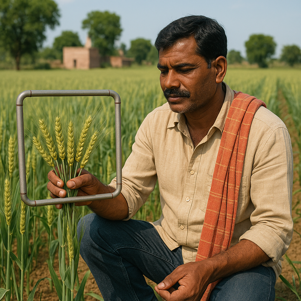
YEILD ESTIMATION
Yield in one or more subplots is measured and total yield per unit area.
Crop rotation is an important part of sustainable agriculture. By rotating different crops in different seasons, farmers can ensure that the soil remains healthy and that the crop yield is maximized.
Weather conditions play a crucial role in crop yield estimation. Temperature, humidity, and precipitation all affect the growth and development of crops. The number of plants grown in an area also affects the crop yield. Planting too many or too few plants can result in poor yields.
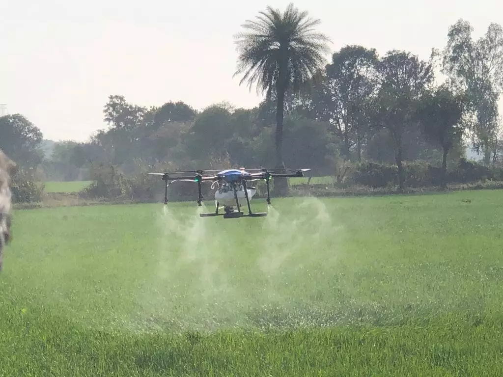
DRONE SERVICES
Our drone services deliver high-resolution 5 cm imagery, surpassing 0.5-1 m satellite data, with no cloud cover issues and higher temporal frequency for timely monitoring. With 10 cm spatial accuracy and customizable Region of Interest (ROI) selection, we provide precise solutions for urbanization and land use studies, crop stress identification for optimized scheme planning, canal condition inspection, and floodplain mapping for effective disaster mitigation. Trust us to elevate your projects with cutting-edge aerial insights.